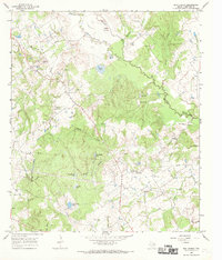
1966 Map of Box Church
USGS Topo · Published 1969About this map
The Navasota River meanders through the heart of this landscape, its path accompanied by an Old Channel Navasota River and numerous oxbow lakes such as Water Lake, Rush Lake, and Clear Lake. The rural character of Limestone County is defined here by small communities and a high density of family cemeteries, indicating a long-settled agrarian population. Box Church and Old Union serve as the primary hubs, with the latter featuring the Old Union Ch and Cox Cem nearby.
Find a feature on this map
40 named features on this map. Tap any name to fly to it.
Don’t see what you’re looking for? This feature index may not catch every label — zoom into the map to look around manually.
Map Details
Editions of this 1966 Box Church Map
2 editions found
Other maps of this area

1920 · Mexia
USGS Topo · 1:62,500

1954 · Waco
USGS Topo · 1:250,000

1955 · Waco
USGS Topo · 1:250,000

1957 · Groesbeck
USGS Topo · 1:62,500

1960 · Groesbeck
USGS Topo · 1:24,000
1966 · Round Prairie
USGS Topo · 1:24,000

1966 · Thornton
USGS Topo · 1:24,000
1966 · Teague South
USGS Topo · 1:24,000
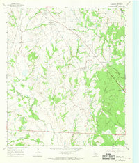
1966 · Fallon
USGS Topo · 1:24,000
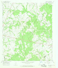
1966 · Kosse East
USGS Topo · 1:24,000