
1966 Map of Thornton
USGS Topo · Published 1968About this map
The small town of Thornton serves as the central hub of this mid-1960s survey, situated along the Southern Pacific rail line. The surrounding countryside is defined by a dense network of family-named cemeteries and rural institutions, suggesting a landscape rooted in multi-generational land ownership. Locations such as Pippin Cem, Carroll Cem, and Phifer Cem are scattered across the rolling terrain between Keel Creek and Phifer Creek, marking the historical burial grounds of local settlers.
Find a feature on this map
33 named features on this map. Tap any name to fly to it.
Don’t see what you’re looking for? This feature index may not catch every label — zoom into the map to look around manually.
Map Details
Editions of this 1966 Thornton Map
This is the sole edition of this map. No revisions or reprints were ever made.
Other maps of this area

1920 · Mexia
USGS Topo · 1:62,500

1954 · Waco
USGS Topo · 1:250,000

1955 · Waco
USGS Topo · 1:250,000

1957 · Groesbeck
USGS Topo · 1:62,500

1960 · Groesbeck
USGS Topo · 1:24,000

1965 · Kosse West
USGS Topo · 1:24,000
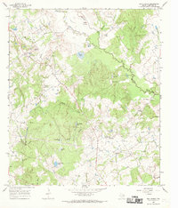
1966 · Box Church
USGS Topo · 1:24,000
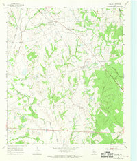
1966 · Fallon
USGS Topo · 1:24,000
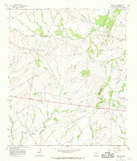
1966 · Ben Hur
USGS Topo · 1:24,000
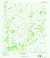
1966 · Odds
USGS Topo · 1:24,000