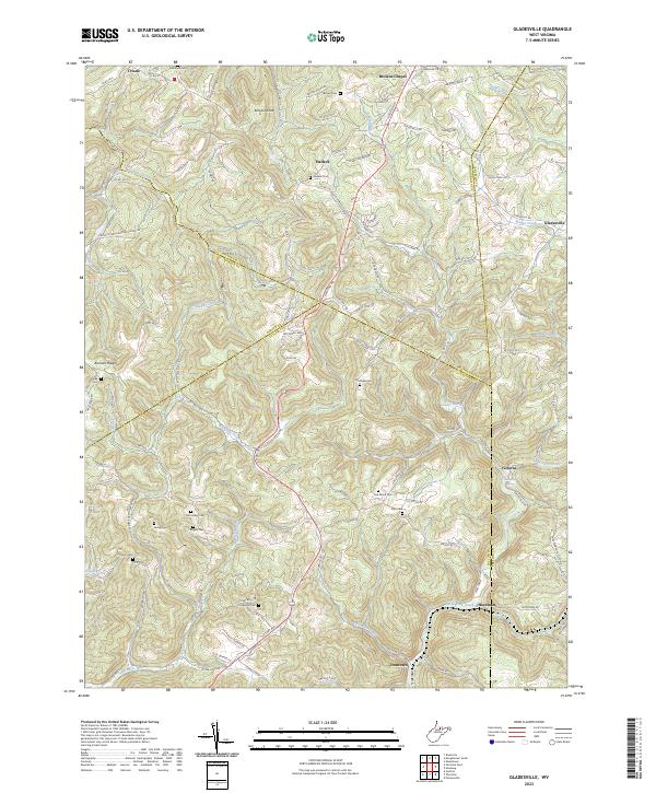
2023 Map of Thornton
USGS Topo · Published 2023About this map
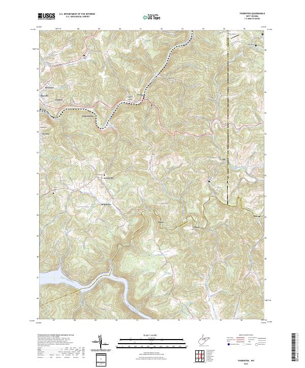
Grafton and its outlying neighborhoods of Blueville and Lucretia anchor the western edge of this landscape, where the Tygart Valley River curves through the southern hills. The terrain is defined by a series of narrow hollows and ridges, including Wilson Ridge and Siggens Hollow, which historically dictated the paths of local roads like the Knottsville highway. Small settlements such as Millertown, Hiram, and Claude are scattered across the central uplands, often centered near community landmarks like the Knottsville Cem or Mount Pleasant Cem. The northeastern corner transitions into Preston County, marked by Larew Airport and Bethel Cem, while the southern reaches follow the winding course of Sandy Creek and its many tributaries. This detailed survey documents the intersection of Taylor, Barbour, and Preston counties, showing the persistence of rural mountain hamlets and family cemeteries amidst the high ridges of north-central West Virginia.
Find a feature on this map
95 named features on this map. Tap any name to fly to it.
Don’t see what you’re looking for? This feature index may not catch every label — zoom into the map to look around manually.
Map Details
Editions of this 2023 Thornton Map
This is the sole edition of this map. No revisions or reprints were ever made.
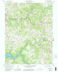
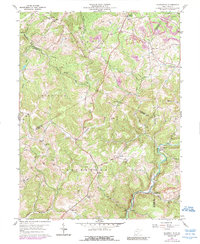
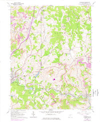
Historical Maps of Knottsville Through Time
6 maps found