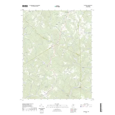
2023 Map of Gladesville
USGS Topo · Published 2023About this map
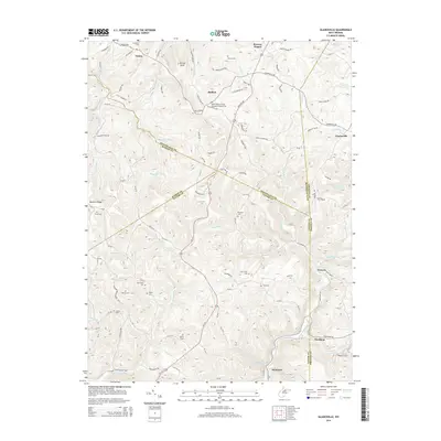
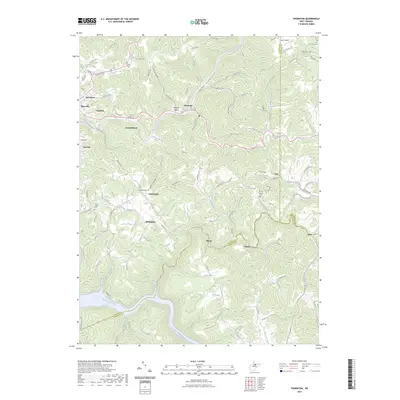
Whiteday Creek and its many tributaries, including Maple Run and Cherry Run, carve through the complex topography where Taylor, Monongalia, Marion, and Preston counties meet. Small rural settlements like Halleck and Gladesville anchor a landscape defined by ridges and hollows, such as Bunners Ridge and Fetter Hollow. The map reveals a dense network of local history through its numerous family and community burial grounds, including the Oak Grove Cem, Matthew Cem, and Ford Cem. This documentation of cemetery locations and small crossroads communities like Irontown and Hardman offers significant value for genealogical research in this part of West Virginia. The terrain is dominated by high points like Kincaid Knob and Trickett Hill, while church life is represented by Browns Chapel, reflecting the enduring rural character of these upland communities.
Find a feature on this map
119 named features on this map. Tap any name to fly to it.
Don’t see what you’re looking for? This feature index may not catch every label — zoom into the map to look around manually.
Map Details
Editions of this 2023 Gladesville Map
This is the sole edition of this map. No revisions or reprints were ever made.
Historical Maps of Victoria Through Time
18 maps found
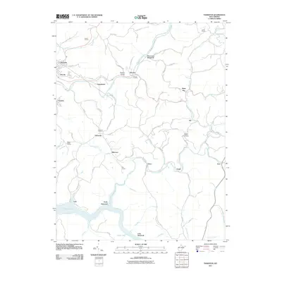
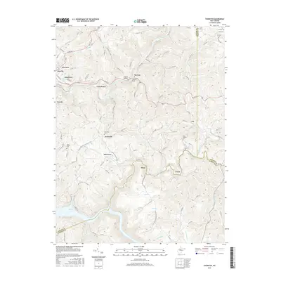
1958 Thornton
Taylor County, WV
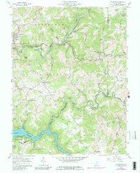
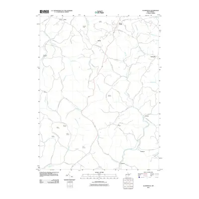
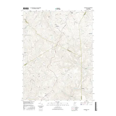
1960 Gladesville
Taylor County, WV
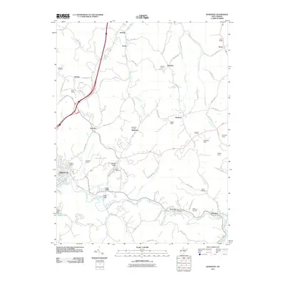
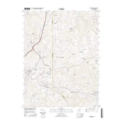
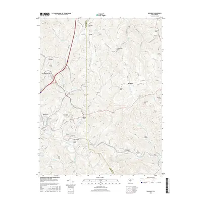
1960 Rosemont
Taylor County, WV
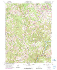
2011 Gladesville
Taylor County, WV
2011 Rosemont
Taylor County, WV
2011 Thornton
Taylor County, WV
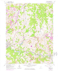
2014 Gladesville
Taylor County, WV
2014 Rosemont
Taylor County, WV

2014 Thornton
Taylor County, WV
2016 Gladesville
Taylor County, WV
2016 Rosemont
Taylor County, WV
2016 Thornton
Taylor County, WV
2019 Gladesville
Taylor County, WV
2019 Rosemont
Taylor County, WV
2019 Thornton
Taylor County, WV
2023 Gladesville
Taylor County, WV
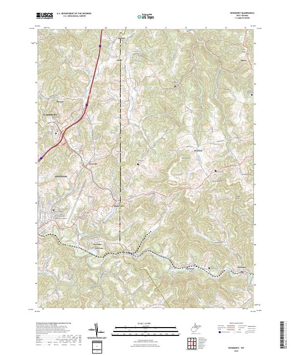
2023 Rosemont
Taylor County, WV
2023 Thornton
Taylor County, WV