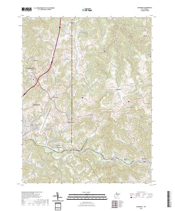
2023 Map of Rosemont
USGS Topo · Published 2023About this map
Simpson Creek carves through this portion of Taylor and Harrison counties, framing a landscape where transportation infrastructure meets rural community life. The North Central West Virginia Airport serves as a modern anchor near Bridgeport, while the surrounding hills are marked by small settlements such as Rosemont and Flemington. The geography is defined by a dense network of watercourses, including Berry Run, Stout Hollow, and Oral Lake, which have influenced the placement of homes and local roads for generations.
Find a feature on this map
107 named features on this map. Tap any name to fly to it.
Don’t see what you’re looking for? This feature index may not catch every label — zoom into the map to look around manually.
Map Details
Editions of this 2023 Rosemont Map
This is the sole edition of this map. No revisions or reprints were ever made.
Other maps of this area

1902 · Clarksburg
USGS Topo · 1:62,500

1902 · Fairmont
USGS Topo · 1:62,500

1904 · Philippi
USGS Topo · 1:62,500

1904 · Weston
USGS Topo · 1:62,500

1910 · Clarksburg
USGS Topo · 1:62,500

1923 · Fairmont
USGS Topo · 1:62,500

1923 · Clarksburg
USGS Topo · 1:62,500

1925 · Clarksburg
USGS Topo · 1:62,500

1925 · Philippi
USGS Topo · 1:62,500

1926 · Fairmont
USGS Topo · 1:62,500