
1925 Map of Clarksburg
USGS Topo · Published 1925About this map
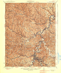
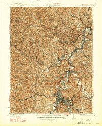
Clarksburg serves as the industrial and transport nexus for this 1925 snapshot of Harrison County, where the Baltimore and Ohio RR follows the winding course of the West Fork River. The map captures a landscape defined by its mining and milling heritage, with significant coal operations such as the Ocean Mine and Coals Mine located near expanding rail hubs. Beyond the urban center, the terrain is densely marked by a network of rural school districts and small settlements like Annabelle (Four States PO) and Meadowbrook, illustrating a decentralized but active community structure.
Find a feature on this map
139 named features on this map. Tap any name to fly to it.
Don’t see what you’re looking for? This feature index may not catch every label — zoom into the map to look around manually.
Map Details
Editions of this 1925 Clarksburg Map
3 editions found
Other maps of this area

1902 · Clarksburg
USGS Topo · 1:62,500

1902 · Fairmont
USGS Topo · 1:62,500

1903 · Littleton
USGS Topo · 1:62,500

1904 · Philippi
USGS Topo · 1:62,500

1904 · Blacksville
USGS Topo · 1:62,500

1904 · Weston
USGS Topo · 1:62,500

1904 · Vadis
USGS Topo · 1:62,500

1905 · Mannington
USGS Topo · 1:62,500

1905 · Centerpoint
USGS Topo · 1:62,500

1905 · Littleton
USGS Topo · 1:62,500