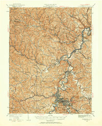
1923 Map of Clarksburg
USGS Topo · Published 1959About this map
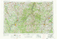
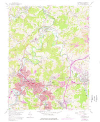
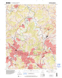
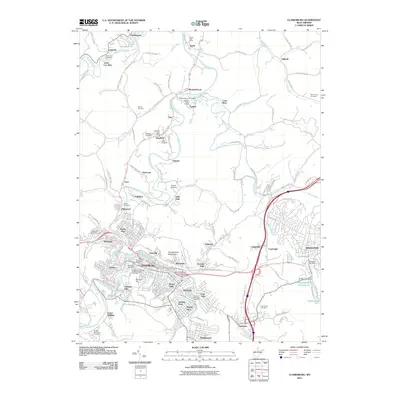
Clarksburg serves as the industrial and transportation anchor for this 1923 revision, where the Baltimore and Ohio and Western Maryland railroads intersect at the heart of the Harrison County coalfields. The landscape is defined by the heavy presence of the extractive economy, with the Cook Mine and Ocean Mine situated near the winding course of the West Fork River. North of the city, the Monongahela West Penn Public Service Co rail line links a series of tight-knit company towns and settlements like Enterprise and Haywood.
Find a feature on this map
156 named features on this map. Tap any name to fly to it.
Don’t see what you’re looking for? This feature index may not catch every label — zoom into the map to look around manually.
Map Details
Editions of this 1923 Clarksburg Map
This is the sole edition of this map. No revisions or reprints were ever made.
Historical Maps of Clarksburg Through Time
16 maps found
1902 Clarksburg
Harrison County, WV
1910 Clarksburg
Harrison County, WV
1923 Clarksburg
Harrison County, WV
1925 Clarksburg
Harrison County, WV

1949 Clarksburg
Harrison County, WV
1956 Clarksburg
Harrison County, WV
1958 Clarksburg
Harrison County, WV

1961 Clarksburg
Harrison County, WV

1982 Clarksburg
Harrison County, WV

1988 Clarksburg
Harrison County, WV
1996 Clarksburg
Harrison County, WV
2011 Clarksburg
Harrison County, WV
2014 Clarksburg
Harrison County, WV
2016 Clarksburg
Harrison County, WV
2019 Clarksburg
Harrison County, WV
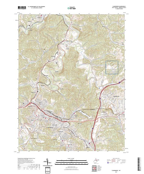
2023 Clarksburg
Harrison County, WV