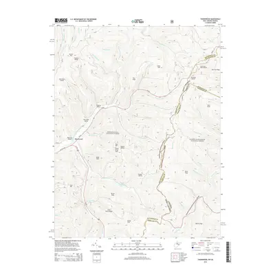
2014 Map of Thornwood
USGS Topo · Published 2014About this map
Thornwood sits at the confluence of several mountain drainages where WV-28 and Us-250 meet in the high country of Pocahontas County. This 2014 survey documents a landscape defined by the convergence of the Monongahela National Forest and the George Washington National Forest along the West Virginia and Virginia state line. The drainage of the E Fork Greenbrier River dominates the western half of the map, fed by numerous hollows including Fivemile Hollow and Gum Cabin Hollow.
Find a feature on this map
57 named features on this map. Tap any name to fly to it.
Don’t see what you’re looking for? This feature index may not catch every label — zoom into the map to look around manually.
Map Details
Editions of this 2014 Thornwood Map
This is the sole edition of this map. No revisions or reprints were ever made.
Other maps of this area

1889 · Beverly
USGS Topo · 1:125,000

1892 · Beverly
USGS Topo · 1:125,000

1901 · Monterey
USGS Topo · 1:125,000

1922 · Spruce Knob
USGS Topo · 1:48,000

1922 · Cass
USGS Topo · 1:48,000

1922 · Durbin
USGS Topo · 1:48,000

1924 · Cass
USGS Topo · 1:62,500

1924 · Durbin
USGS Topo · 1:62,500

1924 · Spruce Knob
USGS Topo · 1:62,500

1941 · Monterey
USGS Topo · 1:62,500