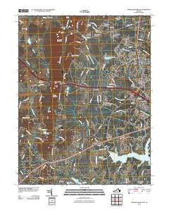
2010 Map of Thoroughfare Gap
USGS Topo · Published 2010About this map
Thoroughfare Gap and Hopewell Gap punctuate the Bull Run Mountains, serving as the primary geological gateways through this northern Virginia landscape. The village of Thoroughfare sits at the foot of its eponymous gap, while Beverley Mill stands as a landmark of local industrial history nearby. Settlement patterns in this 2010 survey reflect a transition from historic rural outposts like Buckland and Greenwich to expanding residential developments such as Burke Meadows and Knollwood Estates. Genealogists will find several burial grounds documented, including Buckland Cemetery and Saint Pauls Cemetery near Haymarket. Extensive water features like Lake Manassas, Silver Lake, and the winding Broad Run define the eastern drainage, while the western side of the ridge features older extraction sites like Paynes Quarry and Sisslers Quarry.
Find a feature on this map
100 named features on this map. Tap any name to fly to it.
Don’t see what you’re looking for? This feature index may not catch every label — zoom into the map to look around manually.
Map Details
Editions of this 2010 Thoroughfare Gap Map
This is the sole edition of this map. No revisions or reprints were ever made.
Other maps of this area

1894 · Warrenton
USGS Topo · 1:125,000

1894 · Warrenton
USGS Topo · 1:62,500

1927 · Remington
USGS Topo · 1:48,000

1930 · Warrenton
USGS Topo · 1:62,500

1933 · Middleburg
USGS Topo · 1:62,500

1943 · Catlett
USGS Topo · 1:62,500

1943 · Arcola
USGS Topo · 1:24,000

1943 · Thorofare Gap
USGS Topo · 1:24,000

1943 · Marshall
USGS Topo · 1:24,000

1943 · Rectortown
USGS Topo · 1:24,000