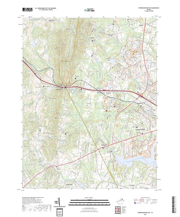
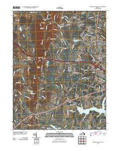
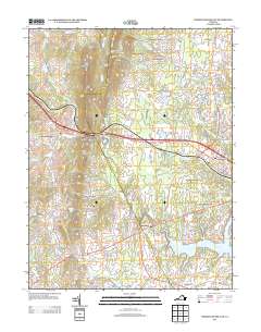
2022 Map of Thoroughfare Gap
USGS Topo · Published 2022About this map
Thoroughfare Gap serves as the focal point where the Bull Run Mountains meet the historical transportation corridor of Northern Virginia. This 2022 survey documents the persistent rural character of western Prince William County even as residential growth extends from Gainesville and Haymarket. The landscape is densely populated with family heritage sites, including the Harrison-Norvill Cem, Delaplane Family Cem, and Chapman Family Cem, offering a detailed record for genealogical research. The historic Beverley Mill stands near the gap, a landmark of 18th-century industry at the edge of Broad Run. Settlements like Buckland and Antioch remain anchored by local institutions such as the Oakrum Baptist Church and Saint Paul's Episcopal Church. Natural water features, including Lake Manassas and Lake Brittle, define the southern reaches of the quadrangle while the Norfolk Southern line follows the traditional path through the mountains.
Find a feature on this map
240 named features on this map. Tap any name to fly to it.
Don’t see what you’re looking for? This feature index may not catch every label — zoom into the map to look around manually.
Map Details
Editions of this 2022 Thoroughfare Gap Map
This is the sole edition of this map. No revisions or reprints were ever made.
Historical Maps of Gainesville Through Time
11 maps found
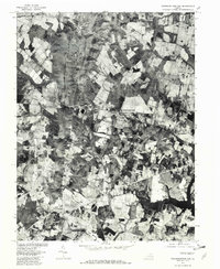
1943 Thorofare Gap
Prince William County, VA
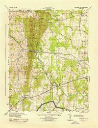
1944 Thorofare Gap
Prince William County, VA
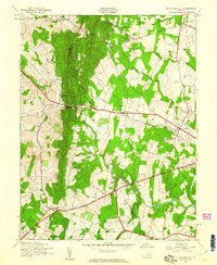
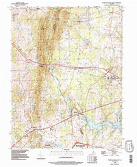
1966 Thoroughfare Gap
Prince William County, VA
1977 Thoroughfare Gap
Prince William County, VA
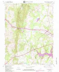
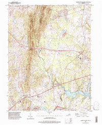
1989 Thoroughfare Gap
Prince William County, VA
1994 Thoroughfare Gap
Prince William County, VA
2010 Thoroughfare Gap
Prince William County, VA
2013 Thoroughfare Gap
Prince William County, VA
2016 Thoroughfare Gap
Prince William County, VA
2019 Thoroughfare Gap
Prince William County, VA
2022 Thoroughfare Gap
Prince William County, VA