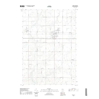
2018 Map of Thorp
USGS Topo · Published 2018About this map
Thorp stands as the primary hub in this central Wisconsin landscape, characterized by a grid of agricultural section lines and small rural communities. The map reveals a high density of burial sites that reflect the region's diverse ethnic heritage, including the Norwegian Cem, Germanian Cem, and Saint Hedwig Cem. These sites, along with others like the Saint Bernard Cem and East Thorp Cem, provide critical touchpoints for family history research. North of the city, the North Fork Eau Claire River meanders through the terrain, joined by smaller tributaries such as McGrogan Cr and Goggle-Eye Cr. Near the western edge, the settlement of Eidsvold is situated alongside the North Fork Airport and its own local Eidsvold Cemetery. To the southeast, the small community of Reseburg anchors the rural road network, which remains dominated by established county routes like County Road X.
Find a feature on this map
53 named features on this map. Tap any name to fly to it.
Don’t see what you’re looking for? This feature index may not catch every label — zoom into the map to look around manually.
Map Details
Editions of this 2018 Thorp Map
This is the sole edition of this map. No revisions or reprints were ever made.
Other maps of this area

1951 · Lublin
USGS Topo · 1:48,000

1951 · Gilman
USGS Topo · 1:62,500

1952 · Stanley
USGS Topo · 1:62,500

1953 · Owen
USGS Topo · 1:48,000

1953 · Eau Claire
USGS Topo · 1:250,000

1953 · Rice Lake
USGS Topo · 1:250,000

1958 · Eau Claire
USGS Topo · 1:250,000

1959 · Rice Lake
USGS Topo · 1:250,000

1963 · Owen
USGS Topo · 1:62,500

1964 · Eau Claire
USGS Topo · 1:250,000