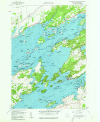
1958 Map of Thousand Island Park
USGS Topo · Published 1960About this map
The St Lawrence River serves as a sprawling international borderland in this late 1950s survey, where the Canada United States boundary threads through a dense archipelago. On the American side, the Victorian-era resort character of Thousand Island Park is clearly defined on the southwestern tip of Wellesley Island, while Grindstone Island remains more rural, dotted with isolated quarries and a secluded cemetery. Small mainland hubs like Fishers Landing and Fineview anchor the New York shore, connected to the islands by the seasonal rhythms of the river.
Find a feature on this map
157 named features on this map. Tap any name to fly to it.
Don’t see what you’re looking for? This feature index may not catch every label — zoom into the map to look around manually.
Map Details
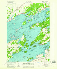
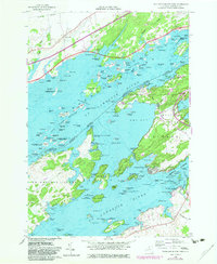
Editions of this 1958 Thousand Island Park Map
3 editions found
Other maps of this area

1900 · Clayton
USGS Topo · 1:62,500

1903 · Grindstone
USGS Topo · 1:62,500

1903 · Clayton
USGS Topo · 1:62,500

1903 · Alexandria Bay
USGS Topo · 1:62,500

1903 · Theresa
USGS Topo · 1:62,500

1942 · Sawmill Bay
USGS Topo · 1:31,680

1942 · Clayton
USGS Topo · 1:24,000

1943 · Thousand Island Park
USGS Topo · 1:31,680

1943 · Clayton
USGS Topo · 1:31,680

1943 · Lafargeville
USGS Topo · 1:31,680