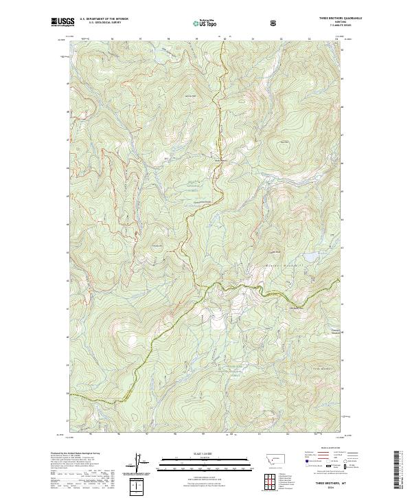
2024 Map of Three Brothers
USGS Topo · Published 2024About this map
The Continental Divide National Scenic Trl snakes through high-elevation terrain along the borders of Powell, Lewis and Clark, and Jefferson counties. This landscape is defined by the high peaks of the Boulder Mountains, including the eponymous Three Brothers and Luttrell Peak. The map illustrates the complex drainage systems that flow away from the divide, featuring names like Sally Ann Creek, Tenmile Creek, and the curiously named Sure Thing Swamps.
Find a feature on this map
49 named features on this map. Tap any name to fly to it.
Don’t see what you’re looking for? This feature index may not catch every label — zoom into the map to look around manually.
Map Details
Editions of this 2024 Three Brothers Map
This is the sole edition of this map. No revisions or reprints were ever made.
Other maps of this area

1889 · Helena
USGS Topo · 1:250,000

1893 · Helena
USGS Topo · 1:250,000

1899 · Boulder
USGS Topo · 1:125,000

1899 · Helena
USGS Topo · 1:250,000

1903 · Helena
USGS Topo · 1:250,000

1947 · Butte
USGS Topo · 1:250,000

1950 · Jefferson City
USGS Topo · 1:62,500

1950 · Helena
USGS Topo · 1:62,500

1954 · Basin
USGS Topo · 1:62,500

1958 · Butte
USGS Topo · 1:250,000