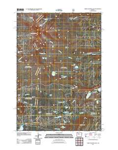
2011 Map of Three Fingered Jack
USGS Topo · Published 2011About this map
Three Fingered Jack stands as the dominant spire in this high-altitude landscape of the Cascades, overlooking a dense concentration of glacial lakes and volcanic landforms. The terrain is defined by dramatic elevations ranging from the heights of Porcupine Peak and Cache Mountain down to the corridor of Santiam Pass. This area has long served as a recreational and transit hub, evidenced by the clustered facilities around Suttle Lake and Blue Lake, including the Blue Lake Resort and Camp Tamarack.
Find a feature on this map
57 named features on this map. Tap any name to fly to it.
Don’t see what you’re looking for? This feature index may not catch every label — zoom into the map to look around manually.
Map Details
Editions of this 2011 Three Fingered Jack Map
This is the sole edition of this map. No revisions or reprints were ever made.
Other maps of this area

1927 · Mt. Jefferson
USGS Topo · 1:125,000

1929 · Three Sisters
USGS Topo · 1:125,000

1930 · Mt. Jefferson
USGS Topo · 1:125,000

1932 · Three Sisters
USGS Topo · 1:125,000

1955 · Bend
USGS Topo · 1:250,000

1957 · Bend
USGS Topo · 1:250,000

1958 · Bend
USGS Topo · 1:250,000

1959 · Three Fingered Jack
USGS Topo · 1:62,500

1959 · Sisters
USGS Topo · 1:62,500

1961 · Whitewater River
USGS Topo · 1:62,500