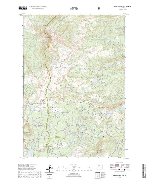
2024 Map of Three Fingered Jack
USGS Topo · Published 2024About this map
Three Fingered Jack serves as the prominent centerpiece of this high-elevation landscape, where the jagged peak anchors the intersection of the Mount Jefferson Wilderness, Deschutes National Forest, and Willamette National Forest. The 2024 survey captures a complex network of recreational routes, including the Pacific Crest National Scenic Trl and the Old Summit Trl, reflecting the area's long-standing importance as a passage through the Cascade Range.
Find a feature on this map
86 named features on this map. Tap any name to fly to it.
Don’t see what you’re looking for? This feature index may not catch every label — zoom into the map to look around manually.
Map Details
Editions of this 2024 Three Fingered Jack Map
This is the sole edition of this map. No revisions or reprints were ever made.
Other maps of this area

1927 · Mt. Jefferson
USGS Topo · 1:125,000

1929 · Three Sisters
USGS Topo · 1:125,000

1930 · Mt. Jefferson
USGS Topo · 1:125,000

1932 · Three Sisters
USGS Topo · 1:125,000

1955 · Bend
USGS Topo · 1:250,000

1957 · Bend
USGS Topo · 1:250,000

1958 · Bend
USGS Topo · 1:250,000

1959 · Three Fingered Jack
USGS Topo · 1:62,500

1959 · Sisters
USGS Topo · 1:62,500

1961 · Whitewater River
USGS Topo · 1:62,500