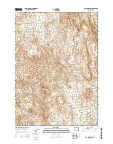
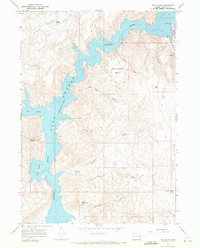
2014 Map of Three Fingers Rock
USGS Topo · Published 2014About this map
Three Fingers Rock stands as a prominent landmark in this high-desert portion of Malheur County, where the landscape is defined by its deep canyons and volcanic ridges. The drainage of Succor Cr carves through the eastern edge of the quadrangle, supported by a network of springs including McIntyre Spring and Quick Draw Spring. This 2014 survey documents the remote livestock and water management infrastructure of the region, featuring multiple catchment basins like Bar Cross Basin Reservoir and Long Gulch Reservoir. Rugged access is maintained via the Board Corral Loop and McIntyre Spring Rd, while named landforms such as Sheephead Ridge and Atkins Butte provide navigational markers across the scrubland. The mapping of Carlton Canyon and Three Fingers Gulch illustrates the complex seasonal watercourses that shape this arid environment.
Find a feature on this map
29 named features on this map. Tap any name to fly to it.
Don’t see what you’re looking for? This feature index may not catch every label — zoom into the map to look around manually.
Map Details
Editions of this 2014 Three Fingers Rock Map
This is the sole edition of this map. No revisions or reprints were ever made.
Other maps of this area

1906 · Mitchell Butte
USGS Topo · 1:125,000

1955 · Boise
USGS Topo · 1:250,000

1958 · Boise
USGS Topo · 1:250,000

1962 · Boise
USGS Topo · 1:250,000
1967 · Graveyard Point
USGS Topo · 1:24,000

1967 · Pelican Point
USGS Topo · 1:24,000

1967 · Rockville
USGS Topo · 1:24,000
1967 · Pole Creek Top
USGS Topo · 1:24,000
1967 · Bannock Ridge
USGS Topo · 1:24,000
1967 · The Elbow
USGS Topo · 1:24,000