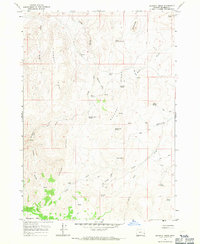
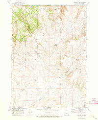
1967 Map of Bannock Ridge
USGS Topo · Published 1971About this map
Bannock Ridge and its series of parallel high points dominate this high-desert landscape in Malheur County during the late 1960s. The topography is defined by significant vertical relief, with Steamboat Ridge and Grassy Ridge running alongside deep drainage networks like Long Gulch and Leslie Gulch. Settlement is nearly nonexistent in this era, save for the isolated Brooks Cabin located near the intersection of the ridges and seasonal water sources.
Find a feature on this map
32 named features on this map. Tap any name to fly to it.
Don’t see what you’re looking for? This feature index may not catch every label — zoom into the map to look around manually.
Map Details
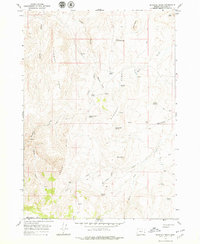
Editions of this 1967 Bannock Ridge Map
2 editions found
Other maps of this area

1955 · Boise
USGS Topo · 1:250,000

1958 · Boise
USGS Topo · 1:250,000

1962 · Boise
USGS Topo · 1:250,000

1967 · Pelican Point
USGS Topo · 1:24,000

1967 · Rockville
USGS Topo · 1:24,000
1967 · Pole Creek Top
USGS Topo · 1:24,000

1967 · Rooster Comb
USGS Topo · 1:24,000
1967 · Three Fingers Rock
USGS Topo · 1:24,000
1969 · Mahogany Gap
USGS Topo · 1:24,000

1969 · Mc Cain Creek
USGS Topo · 1:24,000