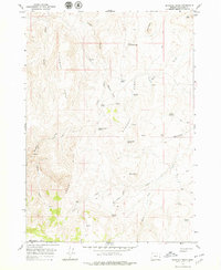
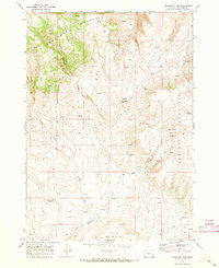
1967 Map of Bannock Ridge
USGS Topo · Published 1979About this map
Bannock Ridge and the surrounding high desert of Malheur County are defined by a network of seasonal water sources and livestock infrastructure during the late 1960s. The landscape is marked by prominent natural features such as Mahogany Mtn and Saddle Butte, while the presence of Upper Saddle Butte Res and numerous named springs like Bannock Spring and Sulphur Spring suggest a territory managed for rangeland. Human activity is Sparse, represented by Brooks Cabin and a series of primitive transport routes including Runaway Trail and several nameless jeep trails. The topographical detail reveals a complex drainage system through Long Gulch and Bannock Gulch, feeding into creeks such as Leslie Creek and Whitenburg Creek. This mapping captures the region before more modern developments, preserving the names of remote landmarks and family-named springs.
Find a feature on this map
33 named features on this map. Tap any name to fly to it.
Don’t see what you’re looking for? This feature index may not catch every label — zoom into the map to look around manually.
Map Details
Editions of this 1967 Bannock Ridge Map
2 editions found
Other maps of this area

1955 · Boise
USGS Topo · 1:250,000

1958 · Boise
USGS Topo · 1:250,000

1962 · Boise
USGS Topo · 1:250,000

1967 · Pelican Point
USGS Topo · 1:24,000

1967 · Rockville
USGS Topo · 1:24,000
1967 · Pole Creek Top
USGS Topo · 1:24,000
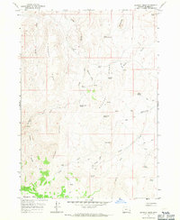
1967 · Bannock Ridge
USGS Topo · 1:24,000

1967 · Rooster Comb
USGS Topo · 1:24,000
1967 · Three Fingers Rock
USGS Topo · 1:24,000
1969 · Mahogany Gap
USGS Topo · 1:24,000