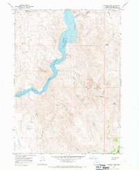
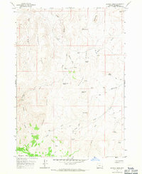
1967 Map of Rooster Comb
USGS Topo · Published 1971About this map
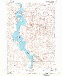
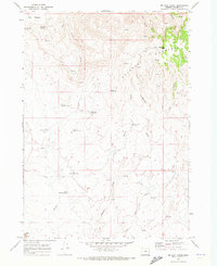
Lake Owyhee dominates the central corridor of this high-desert terrain, where the impounded Owyhee River winds through deep canyons and past prominent volcanic landmarks. The landscape is defined by its dramatic verticality, from the high plateau of North Table Mtn and South Table Mtn to the serrated ridge of Rooster Comb.
Find a feature on this map
28 named features on this map. Tap any name to fly to it.
Don’t see what you’re looking for? This feature index may not catch every label — zoom into the map to look around manually.
Map Details
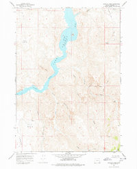
Editions of this 1967 Rooster Comb Map
2 editions found
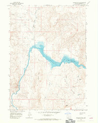
Other maps of this area

1955 · Boise
USGS Topo · 1:250,000

1958 · Boise
USGS Topo · 1:250,000

1962 · Boise
USGS Topo · 1:250,000
1967 · Pelican Point
USGS Topo · 1:24,000
1967 · Diamond Butte
USGS Topo · 1:24,000
1967 · Bannock Ridge
USGS Topo · 1:24,000
1967 · Quartz Mtn Basin
USGS Topo · 1:24,000
1967 · Three Fingers Rock
USGS Topo · 1:24,000
1969 · Mahogany Gap
USGS Topo · 1:24,000
1969 · Mc Cain Creek
USGS Topo · 1:24,000