1969 Map of Mc Cain Creek
USGS Topo · Published 1973About this map
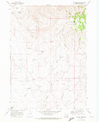
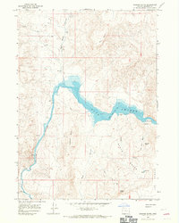
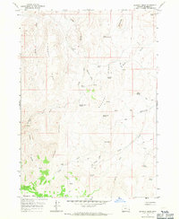
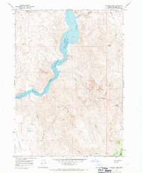
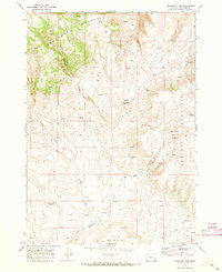
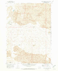
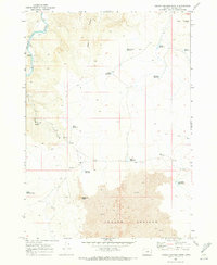
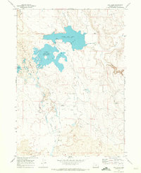
Mahogany Mountain dominates the eastern boundary of this high desert landscape, which was mapped by the Geological Survey during the late 1960s. The region is defined by a complex network of water management, visible through numerous catchments such as McCain Reservoir No 1, McCain Reservoir No 2, and Shell Rock Reservoir. These features, along with names like Moonshine Spring and Grasshopper Spring, highlight the essential reliance on seasonal water sources in this arid part of the state.
Find a feature on this map
24 named features on this map. Tap any name to fly to it.
Don’t see what you’re looking for? This feature index may not catch every label — zoom into the map to look around manually.
Map Details
Editions of this 1969 Mc Cain Creek Map
This is the sole edition of this map. No revisions or reprints were ever made.
Other maps of this area

1955 · Boise
USGS Topo · 1:250,000

1958 · Boise
USGS Topo · 1:250,000

1962 · Boise
USGS Topo · 1:250,000
1967 · Diamond Butte
USGS Topo · 1:24,000
1967 · Bannock Ridge
USGS Topo · 1:24,000
1967 · Rooster Comb
USGS Topo · 1:24,000
1969 · Mahogany Gap
USGS Topo · 1:24,000
1969 · Jordan Craters South
USGS Topo · 1:24,000
1969 · Jordan Craters North
USGS Topo · 1:24,000
1969 · Cow Lakes
USGS Topo · 1:24,000