
1967 Map of Diamond Butte
USGS Topo · Published 1971About this map
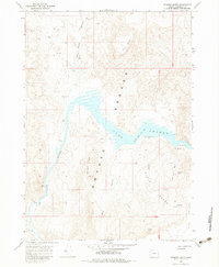
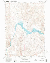
Lake Owyhee dominates this high-desert landscape of Malheur County, appearing here as a controlled reservoir within the deep canyon of the Owyhee River. The survey captures the mid-century water management of the region, noting areas subject to controlled inundation. Along the rugged eastern shore, the Watson Cem serves as a silent reminder of the communities that existed before the rising waters of the dam. To the south, numerous geothermal and seasonal water sources are documented, including Hot Spring, Red Rock Spring, and Gillespie Spring, which provided essential hydration in this arid environment. The terrain is defined by prominent volcanic features like Diamond Butte and Red Butte, while a solitary Jeep Trail provides the only evidence of human transit through the remote canyons of Blue Canyon and Red Butte Canyon.
Find a feature on this map
19 named features on this map. Tap any name to fly to it.
Don’t see what you’re looking for? This feature index may not catch every label — zoom into the map to look around manually.
Map Details
Editions of this 1967 Diamond Butte Map
3 editions found
Other maps of this area

1955 · Boise
USGS Topo · 1:250,000

1958 · Boise
USGS Topo · 1:250,000

1962 · Boise
USGS Topo · 1:250,000

1967 · Pelican Point
USGS Topo · 1:24,000

1967 · Rooster Comb
USGS Topo · 1:24,000

1967 · Quartz Mtn Basin
USGS Topo · 1:24,000

1969 · Mc Cain Creek
USGS Topo · 1:24,000

1969 · Jordan Craters North
USGS Topo · 1:24,000

1972 · Big Mud Flat
USGS Topo · 1:24,000
1972 · Wall Rock Springs
USGS Topo · 1:24,000