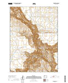
2020 Map of Three Forks
USGS Topo · Published 2020About this map
The convergence of the North Fork Owyhee River, Middle Fork Owyhee River, and the main stem of the Owyhee River creates a complex hydrologic junction at Three Forks. This remote corner of Malheur County is defined by steep drainage systems such as Porcupine Canyon, Warm Springs Canyon, and Loveland Canyon that cut deep into the high desert plateau. A network of livestock and ranching infrastructure is evident through numerous upland catchments like Three Forks Rim Reservoir and Lone Tree Reservoir. Of particular interest to local historians is the Military Grade, a named road segment descending toward the river forks, and the Tudor Warm Springs located along the river bank. The map also records the presence of the Three Forks Dome and various rangeland features such as Tuu-Tiipi Flat and Brown Ridge.
Find a feature on this map
40 named features on this map. Tap any name to fly to it.
Don’t see what you’re looking for? This feature index may not catch every label — zoom into the map to look around manually.
Map Details
Editions of this 2020 Three Forks Map
This is the sole edition of this map. No revisions or reprints were ever made.
Other maps of this area

1955 · Jordan Valley
USGS Topo · 1:250,000

1957 · Jordan Valley
USGS Topo · 1:250,000

1958 · Jordan Valley
USGS Topo · 1:250,000

1980 · Brewster Reservoir
USGS Topo · 1:24,000
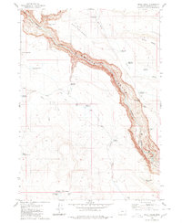
1980 · Skull Creek
USGS Topo · 1:24,000

1980 · Three Forks
USGS Topo · 1:24,000

1980 · Juniper Point
USGS Topo · 1:24,000
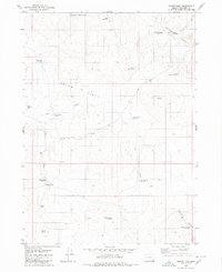
1980 · Squaw Flat
USGS Topo · 1:24,000
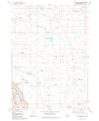
1980 · Whitehorse Butte
USGS Topo · 1:24,000
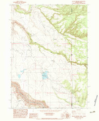
1982 · Deacon Crossing
USGS Topo · 1:24,000