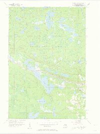
1956 Map of Three Lakes
USGS Topo · Published 1957About this map
Baraga State Forest dominates this mid-century landscape in Michigan’s Upper Peninsula, defined by a dense network of glacial lakes and the industrial footprint of iron mining. The Duluth South Shore and Atlantic railroad cuts through the center of the sheet, providing a vital link for the small settlements of Three Lakes and Imperial Heights. These communities were shaped by their proximity to mineral resources and timber, with the Ohio Mine and several other mine dumps and shafts clustered near the western edge of Lake Michigamme.
Find a feature on this map
37 named features on this map. Tap any name to fly to it.
Don’t see what you’re looking for? This feature index may not catch every label — zoom into the map to look around manually.
Map Details
Editions of this 1956 Three Lakes Map
3 editions found
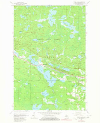
Other maps of this area

1895 · Ned Lake
USGS Topo · 1:62,500

1899 · Witbeck
USGS Topo · 1:62,500

1955 · Ned Lake
USGS Topo · 1:62,500

1955 · Herman
USGS Topo · 1:62,500

1955 · Witch Lake NE
USGS Topo · 1:24,000

1955 · Witch Lake
USGS Topo · 1:62,500

1956 · Three Lakes
USGS Topo · 1:24,000

1956 · Michigamme
USGS Topo · 1:62,500

1956 · Michigamme
USGS Topo · 1:24,000

1958 · Iron River
USGS Topo · 1:250,000