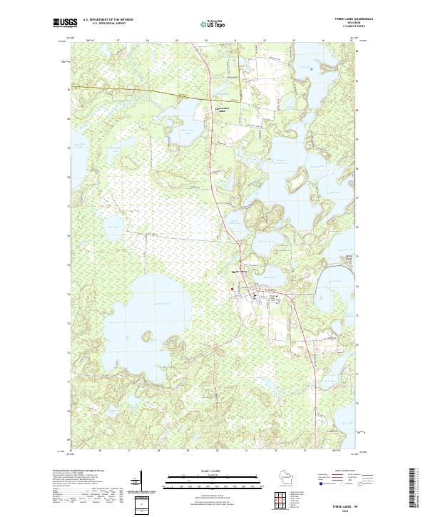
1970 Map of Three Lakes
USGS Topo · Published 1981About this map
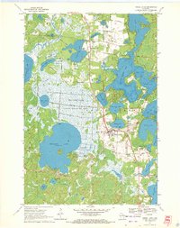
The settlement of Three Lakes serves as the hub of this water-rich Northwoods landscape, situated where the Chicago and North Western railroad passes between a massive chain of interconnected lakes. Extensive Cranberry Bogs and the sprawling Thunder Lake State Wildlife Area dominate the western half of the map, illustrating the region's specialized agricultural and conservation heritage. The landscape is a complex mosaic of glacial features, including kettle lakes like Medicine Lake and Planting Ground Lake, many of which show evidence of early recreational development through labels for a Park, a Drive-in Theater, and a Trailer Park near the town center.
Find a feature on this map
54 named features on this map. Tap any name to fly to it.
Don’t see what you’re looking for? This feature index may not catch every label — zoom into the map to look around manually.
Map Details
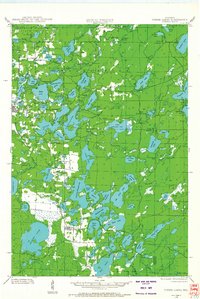
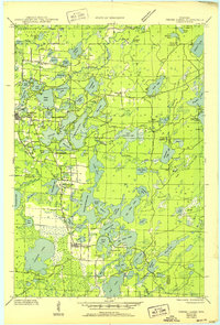
Editions of this 1970 Three Lakes Map
2 editions found
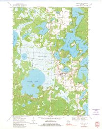
Historical Maps of Three Lakes Through Time
5 maps found