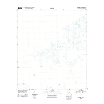
2012 Map of Three Mile Bay
USGS Topo · Published 2012About this map
Three Mile Bay and the surrounding marshlands of Saint Bernard Parish reveal a complex coastal landscape defined by shifting wetlands and tidal passages. This 2012 survey by the U.S. Geological Survey documents a labyrinth of waterways, including the broad expanse of Boudeau Bay and more secluded inlets like Oyster Bayou and Turkey Bayou. The map illustrates the fragile nature of the Louisiana coastline, where small landmasses such as Raccoon Island, Little Raccoon Island, and Mink Island are all that remain of more continuous marsh.
Find a feature on this map
20 named features on this map. Tap any name to fly to it.
Don’t see what you’re looking for? This feature index may not catch every label — zoom into the map to look around manually.
Map Details
Editions of this 2012 Three Mile Bay Map
This is the sole edition of this map. No revisions or reprints were ever made.
Other maps of this area

1893 · Cat Island
USGS Topo · 1:62,500

1893 · Chandeleur
USGS Topo · 1:62,500

1893 · Toulme
USGS Topo · 1:62,500

1895 · Bodreau
USGS Topo · 1:62,500

1935 · Grand Island Pass
USGS Topo · 1:31,680

1935 · Mitchell Keys
USGS Topo · 1:31,680

1946 · Oak Mound Bayou
USGS Topo · 1:31,680

1946 · Isle Au Pitre
USGS Topo · 1:31,680

1946 · Lake Eugenie
USGS Topo · 1:31,680

1946 · Malheureux Point
USGS Topo · 1:31,680