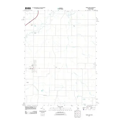
2011 Map of Three Oaks
USGS Topo · Published 2011About this map
The Galien River and its various tributaries, including the East Branch Galien River and Dowling Creek, define the drainage of this southwestern Michigan landscape. Centered on the village of Three Oaks, the map reveals a community defined by its agricultural roots and transport corridors, with the Three Oaks Post Office serving as a local hub.
Find a feature on this map
18 named features on this map. Tap any name to fly to it.
Don’t see what you’re looking for? This feature index may not catch every label — zoom into the map to look around manually.
Map Details
Editions of this 2011 Three Oaks Map
This is the sole edition of this map. No revisions or reprints were ever made.
Other maps of this area

1927 · Niles
USGS Topo · 1:62,500

1930 · Three Oaks
USGS Topo · 1:62,500

1930 · Niles
USGS Topo · 1:62,500

1943 · Niles
USGS Topo · 1:62,500

1944 · Three Oaks
USGS Topo · 1:62,500

1953 · Chicago
USGS Topo · 1:250,000

1957 · Chicago
USGS Topo · 1:250,000

1958 · Lydick
USGS Topo · 1:24,000

1958 · Springville
USGS Topo · 1:24,000

1958 · New Carlisle
USGS Topo · 1:24,000