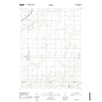
2019 Map of Three Oaks
USGS Topo · Published 2019About this map
Three Oaks and Galien anchor this landscape along the Michigan-Indiana border, where the terrain is defined by the winding course of the Galien River and the broad Elm Valley. The area is marked by a dense network of local routes such as W Warren Woods Rd and W Olive Branch Rd, reflecting a well-established agricultural and rural residential pattern. For those exploring local history, the map provides precise locations for several small burial sites, including the Germinder and Ward Graves and Swem Grave, which offer more localized genealogical data than the larger Riverside Cem or Forest Lawn Cem. Aviation history is noted at Benedick Airport, while several water bodies like Lake Louise, Klutes Lakes, and Davidson Lake suggest the glacial character of the region. The boundary between Berrien County, Michigan, and Laporte County, Indiana, cuts through the southern portion of the sheet, illustrating how state lines intersect with these local communities.
Find a feature on this map
56 named features on this map. Tap any name to fly to it.
Don’t see what you’re looking for? This feature index may not catch every label — zoom into the map to look around manually.
Map Details
Editions of this 2019 Three Oaks Map
This is the sole edition of this map. No revisions or reprints were ever made.
Other maps of this area

1927 · Niles
USGS Topo · 1:62,500

1930 · Three Oaks
USGS Topo · 1:62,500

1930 · Niles
USGS Topo · 1:62,500

1943 · Niles
USGS Topo · 1:62,500

1944 · Three Oaks
USGS Topo · 1:62,500

1953 · Chicago
USGS Topo · 1:250,000

1957 · Chicago
USGS Topo · 1:250,000

1958 · Lydick
USGS Topo · 1:24,000

1958 · Springville
USGS Topo · 1:24,000

1958 · New Carlisle
USGS Topo · 1:24,000