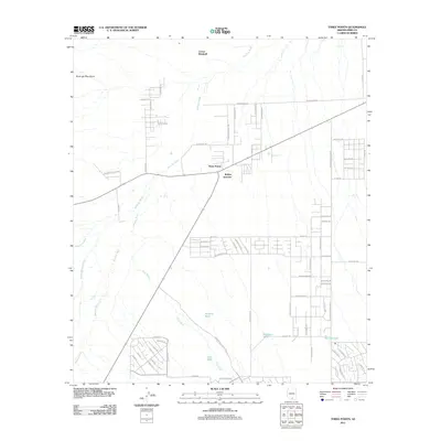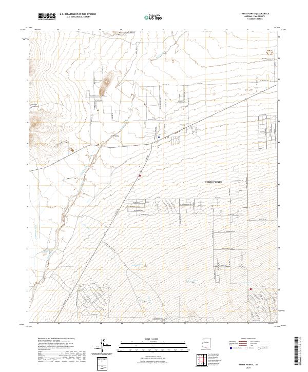
2021 Map of Three Points
USGS Topo · Published 2021About this map
Three Points serves as the central hub of this desert landscape, situated at the junction where the Altar Valley and Avra Valley meet. The geography is defined by a network of ephemeral watercourses including Brawley Wash, Mendoza Wash, and Soto Wash, which flow toward the northwest from the southern basins. To the northwest, the Roskruge Mountains rise above the valley floor, providing a sharp topographic contrast to the surrounding alluvial plains. This 2021 survey illustrates a sparse but organized settlement pattern, with an extensive grid of named roads such as W Arnota Rd and S Silver Star Dr serving the area. Local land use is further indicated by several scattered water resources, such as Javelina Tank, Lost Tank, and San Juan Tank, which are critical features for managing life and livestock in this arid Pima County environment.
Find a feature on this map
107 named features on this map. Tap any name to fly to it.
Don’t see what you’re looking for? This feature index may not catch every label — zoom into the map to look around manually.
Map Details
Editions of this 2021 Three Points Map
This is the sole edition of this map. No revisions or reprints were ever made.
Historical Maps of Robles Junction Through Time
7 maps found