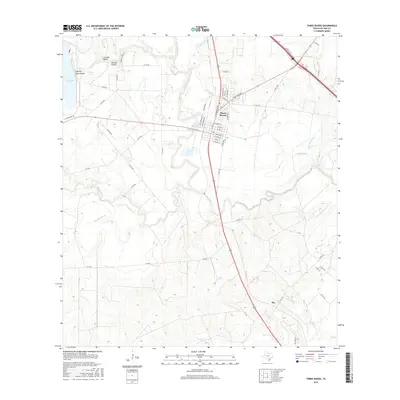
2016 Map of Three Rivers
USGS Topo · Published 2016About this map
Three Rivers occupies a unique hydrologic junction where the Atascosa River, Frio River, and Nueces River converge, a geography that has defined this Live Oak County landscape for generations. This modern topographic study details the complex drainage systems north and south of the town, including Olds Slough and the winding course of Rex Cabaniss Cr. The settlement of Ike appears to the southeast, while the development at Choke Canyon Ests signals more recent residential growth near the riverbanks.
Find a feature on this map
59 named features on this map. Tap any name to fly to it.
Don’t see what you’re looking for? This feature index may not catch every label — zoom into the map to look around manually.
Map Details
Editions of this 2016 Three Rivers Map
This is the sole edition of this map. No revisions or reprints were ever made.
Other maps of this area

1920 · Mikeska
USGS Topo · 1:125,000

1925 · Oakville No. 4
USGS Topo · 1:48,000

1925 · Simmons No. 1
USGS Topo · 1:48,000

1927 · Oakville
USGS Topo · 1:62,500

1929 · Simmons
USGS Topo · 1:62,500

1930 · Whitsett
USGS Topo · 1:62,500

1942 · Whitsett
USGS Topo · 1:62,500

1953 · Crystal City
USGS Topo · 1:250,000

1955 · Crystal City
USGS Topo · 1:250,000

1956 · Suniland
USGS Topo · 1:62,500