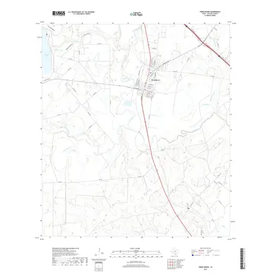
2019 Map of Three Rivers
USGS Topo · Published 2019About this map
The confluence of the Frio River and the Nueces River anchors this South Texas landscape, where the town of Three Rivers sits as a central hub of roads and water. The map documents a complex hydrology including Three Rivers Lake, Olds Slough, and Rock Quarry Br, alongside man-made developments like Choke Canyon Ests. North of the main settlement, the terrain shifts into Sinclair Hollow near the waters of Sinclair Lake and Yarbrough Lake.
Find a feature on this map
59 named features on this map. Tap any name to fly to it.
Don’t see what you’re looking for? This feature index may not catch every label — zoom into the map to look around manually.
Map Details
Editions of this 2019 Three Rivers Map
This is the sole edition of this map. No revisions or reprints were ever made.
Other maps of this area

1920 · Mikeska
USGS Topo · 1:125,000

1925 · Oakville No. 4
USGS Topo · 1:48,000

1925 · Simmons No. 1
USGS Topo · 1:48,000

1927 · Oakville
USGS Topo · 1:62,500

1929 · Simmons
USGS Topo · 1:62,500

1930 · Whitsett
USGS Topo · 1:62,500

1942 · Whitsett
USGS Topo · 1:62,500

1953 · Crystal City
USGS Topo · 1:250,000

1955 · Crystal City
USGS Topo · 1:250,000

1956 · Suniland
USGS Topo · 1:62,500