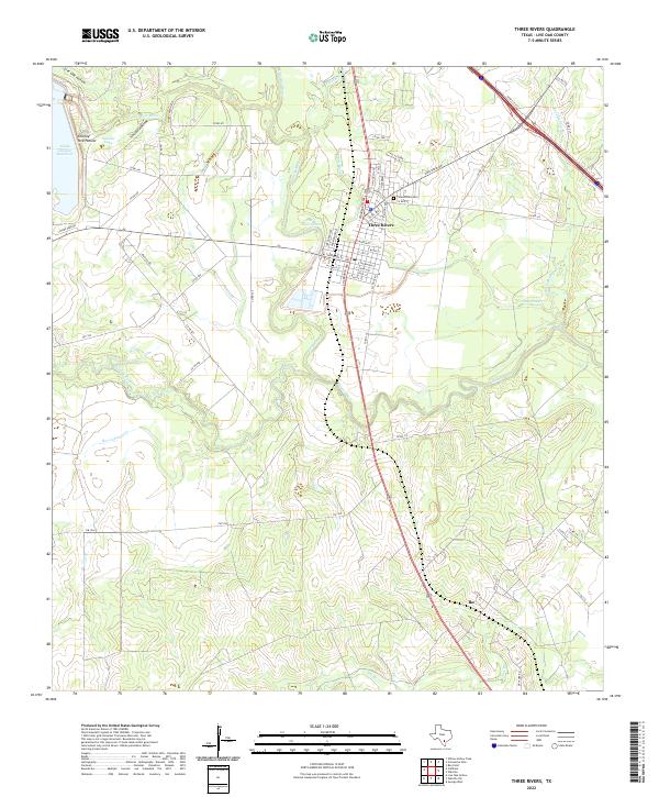
2022 Map of Three Rivers
USGS Topo · Published 2022About this map
Three Rivers stands as the central hub of this South Texas landscape, situated at the unique hydrological junction where the Atascosa River and the Frio River merge before flowing into the Nueces River. This 2022 survey captures the modern geography of the area, defined by significant water management and recreation features like the Choke Canyon Reservoir and Sinclair Lake. The town's grid is detailed with residential streets such as Jim Gooch Ave and Ave Guadalupe, while the Three Rivers Cem serves as a vital anchor for local genealogists. Further south, the map identifies the small community of Ike, illustrating the persistent but sparse settlement patterns common in this part of Live Oak County. Numerous drainage features like Rex Cabaniss Cr and Salt Br dissect the terrain, highlighting the complex watershed that feeds into the regional river system.
Find a feature on this map
66 named features on this map. Tap any name to fly to it.
Don’t see what you’re looking for? This feature index may not catch every label — zoom into the map to look around manually.
Map Details
Editions of this 2022 Three Rivers Map
This is the sole edition of this map. No revisions or reprints were ever made.
Other maps of this area

1920 · Mikeska
USGS Topo · 1:125,000

1925 · Oakville No. 4
USGS Topo · 1:48,000

1925 · Simmons No. 1
USGS Topo · 1:48,000

1927 · Oakville
USGS Topo · 1:62,500

1929 · Simmons
USGS Topo · 1:62,500

1930 · Whitsett
USGS Topo · 1:62,500

1942 · Whitsett
USGS Topo · 1:62,500

1953 · Crystal City
USGS Topo · 1:250,000

1955 · Crystal City
USGS Topo · 1:250,000

1956 · Suniland
USGS Topo · 1:62,500