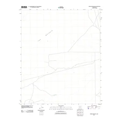
2010 Map of Three Rivers SW
USGS Topo · Published 2010About this map
The Malpais dominates the northwestern portion of this region, representing a stark volcanic landscape of basalt flows in the Tularosa Basin. This 2010 survey by the U.S. Geological Survey details a sparsely settled desert environment where water management is central to the land's utility. Features like Sand Tank illustrate the historical reliance on catchment systems in an arid terrain marked by cattle trails and dirt tracks. The map captures the geometric intersection of modern road classifications against the irregular, ancient borders of the lava fields, providing a clear record of how transit routes navigate the obstacles of the high desert floor.
Find a feature on this map
2 named features on this map. Tap any name to fly to it.
Don’t see what you’re looking for? This feature index may not catch every label — zoom into the map to look around manually.
Map Details
Editions of this 2010 Three Rivers SW Map
This is the sole edition of this map. No revisions or reprints were ever made.
Other maps of this area

1916 · Tularosa
USGS Topo · 1:125,000

1947 · Three Rivers
USGS Topo · 1:62,500

1947 · Capitol Peak
USGS Topo · 1:62,500

1948 · Lumley Lake
USGS Topo · 1:62,500

1948 · Tularosa
USGS Topo · 1:62,500

1950 · Three Rivers
USGS Topo · 1:24,000

1950 · Oscura
USGS Topo · 1:24,000

1954 · Tularosa
USGS Topo · 1:250,000

1958 · Tularosa
USGS Topo · 1:250,000

1981 · Tularosa
USGS Topo · 1:100,000