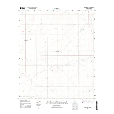
2013 Map of Three Rivers SW
USGS Topo · Published 2013About this map
Tularosa Valley occupies the heart of this Otero County landscape, characterized by the stark contrast between volcanic and arid features. The western edge of the sheet is defined by The Malpais, a distinctive lava flow field, while the southern reaches contain the vast expanse of The Sands. This high-desert environment in the early 21st century relies on a sparse network of water management features to support land use in such a dry climate. Specialized catchment points like Double Mills Reservoir and Lower Steer Pasture Tank are scattered across the valley floor, providing essential water sources. These tanks, including Road Tank and Sand Tank, trace the legacy of ranching and livestock management within the public land survey system divisions of t11s r8e and t12s r8e.
Find a feature on this map
14 named features on this map. Tap any name to fly to it.
Don’t see what you’re looking for? This feature index may not catch every label — zoom into the map to look around manually.
Map Details
Editions of this 2013 Three Rivers SW Map
This is the sole edition of this map. No revisions or reprints were ever made.
Other maps of this area

1916 · Tularosa
USGS Topo · 1:125,000

1947 · Three Rivers
USGS Topo · 1:62,500

1947 · Capitol Peak
USGS Topo · 1:62,500

1948 · Lumley Lake
USGS Topo · 1:62,500

1948 · Tularosa
USGS Topo · 1:62,500

1950 · Three Rivers
USGS Topo · 1:24,000

1950 · Oscura
USGS Topo · 1:24,000

1954 · Tularosa
USGS Topo · 1:250,000

1958 · Tularosa
USGS Topo · 1:250,000

1981 · Tularosa
USGS Topo · 1:100,000