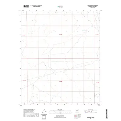
2020 Map of Three Rivers SW
USGS Topo · Published 2020About this map
Hydrological features such as Lower Steer Pasture Tank and Sand-tank are the primary landmarks in this high-desert basin of Otero County. Located at the intersection of several townships, including t11s r8e and t12s r8e, the map illustrates a landscape shaped by water management for livestock and grazing. The sparse distribution of named points highlights the essential role these water tanks play in an otherwise open terrain. Topographical contours and local roads provide the framework for navigating this section of the New Mexico interior near the base of the mountains.
Find a feature on this map
7 named features on this map. Tap any name to fly to it.
Don’t see what you’re looking for? This feature index may not catch every label — zoom into the map to look around manually.
Map Details
Editions of this 2020 Three Rivers SW Map
This is the sole edition of this map. No revisions or reprints were ever made.
Other maps of this area

1916 · Tularosa
USGS Topo · 1:125,000

1947 · Three Rivers
USGS Topo · 1:62,500

1947 · Capitol Peak
USGS Topo · 1:62,500

1948 · Lumley Lake
USGS Topo · 1:62,500

1948 · Tularosa
USGS Topo · 1:62,500

1950 · Three Rivers
USGS Topo · 1:24,000

1950 · Oscura
USGS Topo · 1:24,000

1954 · Tularosa
USGS Topo · 1:250,000

1958 · Tularosa
USGS Topo · 1:250,000

1981 · Tularosa
USGS Topo · 1:100,000