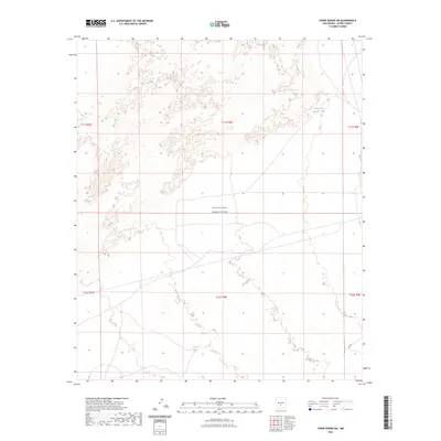
2023 Map of Three Rivers SW
USGS Topo · Published 2023About this map
The White Sands Missile Range dominates this portion of the Otero County landscape, indicating the significant military presence and controlled access that characterizes this region. The terrain is marked by a network of public land survey sections, including t11s r8e and t12s r8e, which provide a formal grid over the arid basin. Surface water features are sparse and vital, represented by remote watering points such as Lower Steer Pasture Tank in the northeast and Sand Tank further south. These catchments suggest the historical and ongoing use of the land for livestock management within a high-desert environment, even as it serves modern defense purposes. The lack of traditional townsites or infrastructure highlights the isolation of this corner of New Mexico, where the landscape is defined more by administrative boundaries and essential water resources than by permanent settlement.
Find a feature on this map
9 named features on this map. Tap any name to fly to it.
Don’t see what you’re looking for? This feature index may not catch every label — zoom into the map to look around manually.
Map Details
Editions of this 2023 Three Rivers SW Map
This is the sole edition of this map. No revisions or reprints were ever made.
Other maps of this area

1916 · Tularosa
USGS Topo · 1:125,000

1947 · Three Rivers
USGS Topo · 1:62,500

1947 · Capitol Peak
USGS Topo · 1:62,500

1948 · Lumley Lake
USGS Topo · 1:62,500

1948 · Tularosa
USGS Topo · 1:62,500

1950 · Three Rivers
USGS Topo · 1:24,000

1950 · Oscura
USGS Topo · 1:24,000

1954 · Tularosa
USGS Topo · 1:250,000

1958 · Tularosa
USGS Topo · 1:250,000

1981 · Tularosa
USGS Topo · 1:100,000