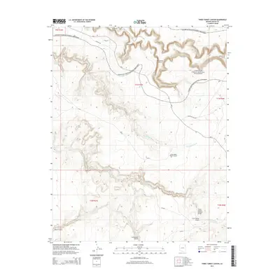
2014 Map of Three Turkey Canyon
USGS Topo · Published 2014About this map
Canyon de Chelly National Monument dominates the northern reaches of this landscape, where the deeply incised Canyon de Chelly meets a network of tributary drainages. The area is defined by its complex geological formations, including The Window and the Three Turkey Natural Bridge located in the southern portion of the quadrangle. High-altitude viewing points like Spider Rock Overlook suggest the dramatic verticality of the terrain, which transitions from high plateaus down into narrow corridors like Wild Cherry Canyon and Little White House Canyon. A system of tribal and local routes, including Bia-7 and S Rim Hwy, provides access across the high ground between these canyons. Water management in this arid environment is evidenced by the Tatezaka Tank, while seasonal water flow is captured by the Tse-Nditsooi Wash and Tse Deeshzhaai Wash as they carve through the sandstone.
Find a feature on this map
26 named features on this map. Tap any name to fly to it.
Don’t see what you’re looking for? This feature index may not catch every label — zoom into the map to look around manually.
Map Details
Editions of this 2014 Three Turkey Canyon Map
This is the sole edition of this map. No revisions or reprints were ever made.
Other maps of this area

1886 · Fort Defiance
USGS Topo · 1:250,000

1892 · Fort Defiance
USGS Topo · 1:250,000

1892 · Canyon De Chelly
USGS Topo · 1:250,000

1954 · Shiprock
USGS Topo · 1:250,000

1954 · Gallup
USGS Topo · 1:250,000

1955 · Chinle 4 NE
USGS Topo · 1:24,000

1955 · Zith-Tusayan Butte 2 NW
USGS Topo · 1:24,000

1955 · Chinle 4 SE
USGS Topo · 1:24,000

1955 · Zith-Tusayan Butte 2 NE
USGS Topo · 1:24,000

1955 · Sonsala Butte 3 SE
USGS Topo · 1:24,000