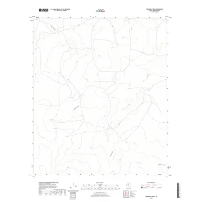
2019 Map of Threemile Draw
USGS Topo · Published 2019About this map
Charlie Ross Draw and Threemile Draw define this arid landscape in West Texas, where water management is the primary marker of human activity. The terrain is characterized by a series of ephemeral drainage systems, including Fourmile Draw and the distinctive Narrow Bow Draw, which dictate the placement of ranching infrastructure.
Find a feature on this map
12 named features on this map. Tap any name to fly to it.
Don’t see what you’re looking for? This feature index may not catch every label — zoom into the map to look around manually.
Map Details
Editions of this 2019 Threemile Draw Map
This is the sole edition of this map. No revisions or reprints were ever made.
Other maps of this area

1931 · Orla
USGS Topo · 1:62,500

1954 · Van Horn
USGS Topo · 1:250,000

1954 · Pecos
USGS Topo · 1:250,000

1957 · Pecos
USGS Topo · 1:250,000

1958 · Van Horn
USGS Topo · 1:250,000

1961 · Orla SE
USGS Topo · 1:24,000

1961 · Narrow Bow Draw
USGS Topo · 1:24,000

1968 · Threemile Draw
USGS Topo · 1:24,000

1968 · Orla
USGS Topo · 1:24,000

1968 · W T Ranch
USGS Topo · 1:24,000