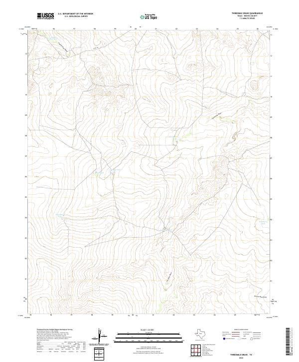
2022 Map of Threemile Draw
USGS Topo · Published 2022About this map
Threemile Draw and Fourmile Draw define the drainage patterns of this Reeves County landscape, where water management is central to the land's utility. The area is marked by a network of earthen water catchments, including Charlie Ross Tank, Hackberry Tank, and Gup Tank, which support local ranching and land use in an otherwise arid environment. These features, along with T P Tank and New Tank, illustrate the persistent human effort to capture seasonal runoff. Co Rd 438 provides the primary transit corridor through the northern section, while the complex topography of Charlie Ross Draw and Narrow Bow Draw shapes the southern and western reaches. This 2022 survey documents the contemporary arrangement of these vital water resources and the limited transportation infrastructure that serves this part of West Texas.
Find a feature on this map
12 named features on this map. Tap any name to fly to it.
Don’t see what you’re looking for? This feature index may not catch every label — zoom into the map to look around manually.
Map Details
Editions of this 2022 Threemile Draw Map
This is the sole edition of this map. No revisions or reprints were ever made.
Other maps of this area

1931 · Orla
USGS Topo · 1:62,500

1954 · Van Horn
USGS Topo · 1:250,000

1954 · Pecos
USGS Topo · 1:250,000

1957 · Pecos
USGS Topo · 1:250,000

1958 · Van Horn
USGS Topo · 1:250,000

1961 · Orla SE
USGS Topo · 1:24,000

1961 · Narrow Bow Draw
USGS Topo · 1:24,000

1968 · Threemile Draw
USGS Topo · 1:24,000

1968 · Orla
USGS Topo · 1:24,000

1968 · W T Ranch
USGS Topo · 1:24,000