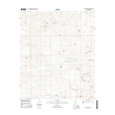
2017 Map of Thumb Tank Peak
USGS Topo · Published 2017About this map
Thumb Tank Peak and the surrounding high desert of Sierra County are documented in this 2017 study, revealing a landscape defined by seasonal water sources and named geological formations. The area is marked by numerous water tanks and springs essential for livestock and wildlife, including Sophia Spring, Bulldozer Spring, and Lobo Tank. These features are scattered among significant elevations like Kelly Peak and the Double S Peaks, which rise above the complex drainage systems of N Fork Palomas Cr and Salado Cr.
Find a feature on this map
65 named features on this map. Tap any name to fly to it.
Don’t see what you’re looking for? This feature index may not catch every label — zoom into the map to look around manually.
Map Details
Editions of this 2017 Thumb Tank Peak Map
This is the sole edition of this map. No revisions or reprints were ever made.
Other maps of this area

1954 · Tularosa
USGS Topo · 1:250,000

1958 · Tularosa
USGS Topo · 1:250,000

1961 · Priest Tank
USGS Topo · 1:24,000

1961 · Saladone Tank
USGS Topo · 1:24,000

1961 · Williamsburg NW
USGS Topo · 1:24,000

1963 · Bell Mountain
USGS Topo · 1:24,000

1963 · Thumb Tank Peak
USGS Topo · 1:24,000

1963 · Sugarloaf Peak
USGS Topo · 1:24,000

1963 · Apache Peak
USGS Topo · 1:24,000

1965 · Winston
USGS Topo · 1:24,000