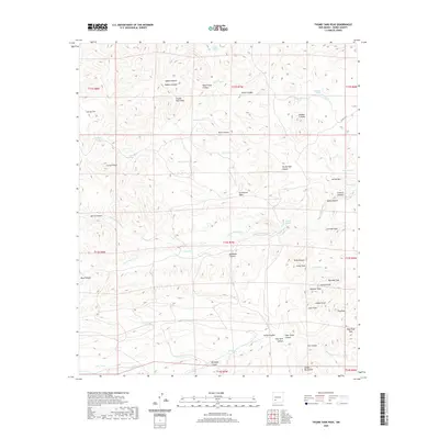
2020 Map of Thumb Tank Peak
USGS Topo · Published 2020About this map
Thumb Tank Peak rises as a prominent landmark in this high-desert portion of Sierra County, where a complex network of canyons and peaks defines the landscape. The geography is marked by essential water sources for cattle and wildlife, including Apodaca Spring, Gallina Spring, and numerous man-made tanks like Polo Tank and Lobo Tank. The drainage patterns of the N Fork Palomas Cr and S Fork Palomas Cr carve through the terrain, flanked by significant elevations such as Kelly Peak and Granite Peak. Historical land use is evident in the naming of features like Madera Canyon and Board Gate Canyon, suggesting a history of ranching and resource management. The map also traces the winding path of Co RD c022, which provides the primary access route through this arid, mountainous region, connecting remote flats like Cactus Flat with the rugged slopes of Yellow Mtn.
Find a feature on this map
62 named features on this map. Tap any name to fly to it.
Don’t see what you’re looking for? This feature index may not catch every label — zoom into the map to look around manually.
Map Details
Editions of this 2020 Thumb Tank Peak Map
This is the sole edition of this map. No revisions or reprints were ever made.
Other maps of this area

1954 · Tularosa
USGS Topo · 1:250,000

1958 · Tularosa
USGS Topo · 1:250,000

1961 · Priest Tank
USGS Topo · 1:24,000

1961 · Saladone Tank
USGS Topo · 1:24,000

1961 · Williamsburg NW
USGS Topo · 1:24,000

1963 · Bell Mountain
USGS Topo · 1:24,000

1963 · Thumb Tank Peak
USGS Topo · 1:24,000

1963 · Sugarloaf Peak
USGS Topo · 1:24,000

1963 · Apache Peak
USGS Topo · 1:24,000

1965 · Winston
USGS Topo · 1:24,000