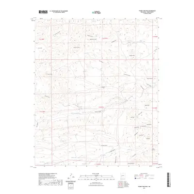
2023 Map of Thumb Tank Peak
USGS Topo · Published 2023About this map
Thumb Tank Peak and the surrounding high country of Sierra County define this landscape of interconnected drainages and prominent volcanic summits. The terrain is marked by a network of ranching infrastructure, where vital water sources like Sophie Spring, Aragon Spring, and Thumb Tank sustained operations across the high plateaus. Strategic overlooks such as Grandview Mesa and Yellow Mountain rise above deep-cut passages including Buck Canyon and Madera Canyon.
Find a feature on this map
65 named features on this map. Tap any name to fly to it.
Don’t see what you’re looking for? This feature index may not catch every label — zoom into the map to look around manually.
Map Details
Editions of this 2023 Thumb Tank Peak Map
This is the sole edition of this map. No revisions or reprints were ever made.
Other maps of this area

1954 · Tularosa
USGS Topo · 1:250,000

1958 · Tularosa
USGS Topo · 1:250,000

1961 · Priest Tank
USGS Topo · 1:24,000

1961 · Saladone Tank
USGS Topo · 1:24,000

1961 · Williamsburg NW
USGS Topo · 1:24,000

1963 · Bell Mountain
USGS Topo · 1:24,000

1963 · Thumb Tank Peak
USGS Topo · 1:24,000

1963 · Sugarloaf Peak
USGS Topo · 1:24,000

1963 · Apache Peak
USGS Topo · 1:24,000

1965 · Winston
USGS Topo · 1:24,000