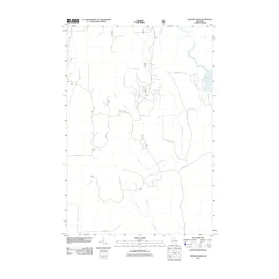
2011 Map of Thunder Creek
USGS Topo · Published 2011About this map
Willow Lake and the winding course of the Willow River define the northeastern corner of this northern Wisconsin landscape. In the early 21st century, this area remains a complex network of forest management routes and minor waterways, characterized by a grid of numbered forest roads like Rd 132 and Forest Rd 130. These routes provide access to the dense woodlands between Stony Creek and the southern flow of Scott Creek. Local history is embedded in the road names, from Dave Wrights Rd to Otto Bezrd, reflecting long-standing family ties to the land. The presence of Chequamegon Dr in the west and Forest Crop Rd in the north highlights the region's intersection of private ownership and large-scale timber management, while Thunder Creek cuts a path through the central lowlands.
Find a feature on this map
31 named features on this map. Tap any name to fly to it.
Don’t see what you’re looking for? This feature index may not catch every label — zoom into the map to look around manually.
Map Details
Editions of this 2011 Thunder Creek Map
This is the sole edition of this map. No revisions or reprints were ever made.
Other maps of this area

1938 · Lac Du Flambeau
USGS Topo · 1:48,000

1939 · Lac Du Flambeau
USGS Topo · 1:48,000

1939 · Mc Cord
USGS Topo · 1:48,000

1941 · Pike Lake
USGS Topo · 1:48,000

1941 · Brantwood
USGS Topo · 1:48,000

1942 · Pike Lake
USGS Topo · 1:48,000

1943 · Brantwood
USGS Topo · 1:48,000

1946 · Lac Du Flambeau
USGS Topo · 1:48,000

1947 · Mc Cord
USGS Topo · 1:48,000

1950 · Pike Lake
USGS Topo · 1:48,000