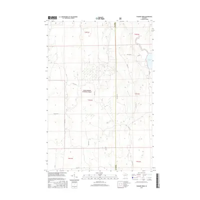
2015 Map of Thunder Creek
USGS Topo · Published 2015About this map
The Chequamegon National Forest encompasses a significant portion of this landscape, marking a region defined by extensive woodlands and a complex network of wetlands and watercourses. Water is a central element of the geography, with Willow Lake and the Willow River situated in the northeast, while Thunder Creek and Stony Cr weave through the central forest lands. The boundary between Price and Oneida counties bisects the area, following a north-south line that serves as a primary axis for local navigation.
Find a feature on this map
25 named features on this map. Tap any name to fly to it.
Don’t see what you’re looking for? This feature index may not catch every label — zoom into the map to look around manually.
Map Details
Editions of this 2015 Thunder Creek Map
This is the sole edition of this map. No revisions or reprints were ever made.
Other maps of this area

1938 · Lac Du Flambeau
USGS Topo · 1:48,000

1939 · Lac Du Flambeau
USGS Topo · 1:48,000

1939 · Mc Cord
USGS Topo · 1:48,000

1941 · Pike Lake
USGS Topo · 1:48,000

1941 · Brantwood
USGS Topo · 1:48,000

1942 · Pike Lake
USGS Topo · 1:48,000

1943 · Brantwood
USGS Topo · 1:48,000

1946 · Lac Du Flambeau
USGS Topo · 1:48,000

1947 · Mc Cord
USGS Topo · 1:48,000

1950 · Pike Lake
USGS Topo · 1:48,000