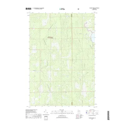
2018 Map of Thunder Creek
USGS Topo · Published 2018About this map
The Chequamegon National Forest dominates this northern Wisconsin landscape, where dense timber and marshlands define the border between Price and Oneida counties. This 2018 survey reveals a terrain shaped by water and recreation, centered on the drainage of Stony Cr and Scott Cr. The northeastern corner of the map features the expanse of Willow Lake, fed by the namesake Thunder Cr. Unlike many regions with established township grids, this area is characterized by isolated forest roads and specialized trails like the Price Co Snowmobile-120A (Snow). Named arteries such as Webster Trl Rd and Dave Wrights Rd penetrate the deep woods, providing access to a wilderness that remains largely undeveloped and primarily dedicated to timber management and outdoor pursuits.
Find a feature on this map
18 named features on this map. Tap any name to fly to it.
Don’t see what you’re looking for? This feature index may not catch every label — zoom into the map to look around manually.
Map Details
Editions of this 2018 Thunder Creek Map
This is the sole edition of this map. No revisions or reprints were ever made.
Other maps of this area

1938 · Lac Du Flambeau
USGS Topo · 1:48,000

1939 · Lac Du Flambeau
USGS Topo · 1:48,000

1939 · Mc Cord
USGS Topo · 1:48,000

1941 · Pike Lake
USGS Topo · 1:48,000

1941 · Brantwood
USGS Topo · 1:48,000

1942 · Pike Lake
USGS Topo · 1:48,000

1943 · Brantwood
USGS Topo · 1:48,000

1946 · Lac Du Flambeau
USGS Topo · 1:48,000

1947 · Mc Cord
USGS Topo · 1:48,000

1950 · Pike Lake
USGS Topo · 1:48,000