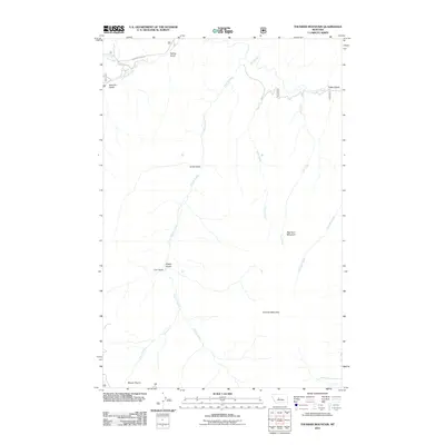
2011 Map of Thunder Mountain
USGS Topo · Published 2011About this map
Thunder Mountain and Big Horn Mountain dominate this central Montana landscape, where a network of drainages carves through the high terrain of Cascade County. The map details a complex system of waterways, most notably the winding paths of Belt Creek and Pilgrim Creek, which are fed by numerous smaller streams and gulches. The drainage patterns revealed here, including Iron Creek and Thunder Creek, reflect the natural erosion of the mountain slopes over time.
Find a feature on this map
18 named features on this map. Tap any name to fly to it.
Don’t see what you’re looking for? This feature index may not catch every label — zoom into the map to look around manually.
Map Details
Editions of this 2011 Thunder Mountain Map
This is the sole edition of this map. No revisions or reprints were ever made.
Other maps of this area

1886 · Great Falls
USGS Topo · 1:250,000

1886 · Fort Logan
USGS Topo · 1:250,000

1886 · Little Belt Mts.
USGS Topo · 1:250,000

1890 · Fort Benton
USGS Topo · 1:250,000

1892 · Fort Benton
USGS Topo · 1:250,000

1894 · Little Belt Mts.
USGS Topo · 1:250,000

1897 · Fort Benton
USGS Topo · 1:250,000

1897 · Little Belt Mts.
USGS Topo · 1:250,000

1898 · Little Belt Mts.
USGS Topo · 1:250,000

1902 · Little Belt Mts.
USGS Topo · 1:250,000