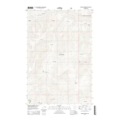
2014 Map of Thunder Mountain
USGS Topo · Published 2014About this map
Lewis & Clark National Forest encompasses the high country of the Little Belt Mountains on the border of Cascade and Meagher counties. This area is characterized by a series of prominent peaks and drainage systems, most notably Thunder Mountain and Big Horn Mountain. The landscape is etched by various gulches, including the descriptive Goblin Gulch and Sawmill Gulch, the latter hinting at the region's historical timber interests.
Find a feature on this map
27 named features on this map. Tap any name to fly to it.
Don’t see what you’re looking for? This feature index may not catch every label — zoom into the map to look around manually.
Map Details
Editions of this 2014 Thunder Mountain Map
This is the sole edition of this map. No revisions or reprints were ever made.
Other maps of this area

1886 · Great Falls
USGS Topo · 1:250,000

1886 · Fort Logan
USGS Topo · 1:250,000

1886 · Little Belt Mts.
USGS Topo · 1:250,000

1890 · Fort Benton
USGS Topo · 1:250,000

1892 · Fort Benton
USGS Topo · 1:250,000

1894 · Little Belt Mts.
USGS Topo · 1:250,000

1897 · Fort Benton
USGS Topo · 1:250,000

1897 · Little Belt Mts.
USGS Topo · 1:250,000

1898 · Little Belt Mts.
USGS Topo · 1:250,000

1902 · Little Belt Mts.
USGS Topo · 1:250,000