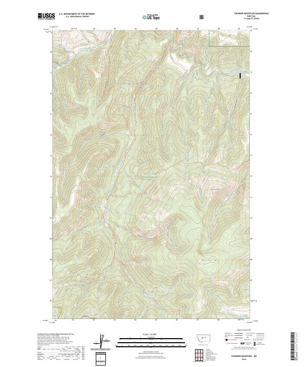
2024 Map of Thunder Mountain
USGS Topo · Published 2024About this map
The Little Belt Mountains dominate this high-elevation terrain within the Lewis & Clark National Forest. The landscape is defined by a dense network of drainages and prominent peaks, including Thunder Mtn and Big Horn Mtn to the east, and Mt Pilgrim on the southern edge. The water system is particularly complex, with Pilgrim Creek and Virgin Creek carving deep paths through the center of the sheet, while Belt Creek flows through the northeast. A system of forest trails, such as the Pilgrim Creek Trl and Bighorn Trl, provides access to these remote reaches. The transition between Cascade and Meagher counties occurs in the southwestern corner, marked near the headwaters of Deer Creek. Names like Sawmill Gulch and Goblin Gulch suggest a history of early land use and local lore within this protected wilderness area.
Find a feature on this map
32 named features on this map. Tap any name to fly to it.
Don’t see what you’re looking for? This feature index may not catch every label — zoom into the map to look around manually.
Map Details
Editions of this 2024 Thunder Mountain Map
This is the sole edition of this map. No revisions or reprints were ever made.
Other maps of this area

1886 · Great Falls
USGS Topo · 1:250,000

1886 · Fort Logan
USGS Topo · 1:250,000

1886 · Little Belt Mts.
USGS Topo · 1:250,000

1890 · Fort Benton
USGS Topo · 1:250,000

1892 · Fort Benton
USGS Topo · 1:250,000

1894 · Little Belt Mts.
USGS Topo · 1:250,000

1897 · Fort Benton
USGS Topo · 1:250,000

1897 · Little Belt Mts.
USGS Topo · 1:250,000

1898 · Little Belt Mts.
USGS Topo · 1:250,000

1902 · Little Belt Mts.
USGS Topo · 1:250,000