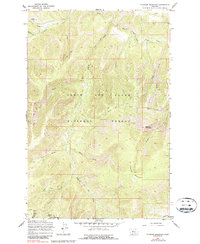
1967 Map of Thunder Mountain
USGS Topo · Published 1987About this map
The Lewis and Clark National Forest defines the rugged topography of this Montana landscape as it appeared in the late 1960s. High peaks like Thunder Mountain and Big Horn Mountain overlook a network of steep drainages, including Goblin Gulch and Tobins Gulch. Evidence of early industrial and administrative activity is visible in the north, where an Old Railroad Grade follows the curve of Belt Creek and the Meade Guard Station stands near the confluence of Lick Creek and Sawmill Gulch.
Find a feature on this map
27 named features on this map. Tap any name to fly to it.
Don’t see what you’re looking for? This feature index may not catch every label — zoom into the map to look around manually.
Map Details
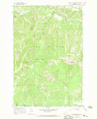
Editions of this 1967 Thunder Mountain Map
2 editions found
Other maps of this area

1886 · Great Falls
USGS Topo · 1:250,000

1886 · Fort Logan
USGS Topo · 1:250,000

1886 · Little Belt Mts.
USGS Topo · 1:250,000

1890 · Fort Benton
USGS Topo · 1:250,000

1892 · Fort Benton
USGS Topo · 1:250,000

1894 · Little Belt Mts.
USGS Topo · 1:250,000

1897 · Fort Benton
USGS Topo · 1:250,000

1897 · Little Belt Mts.
USGS Topo · 1:250,000

1898 · Little Belt Mts.
USGS Topo · 1:250,000

1902 · Little Belt Mts.
USGS Topo · 1:250,000