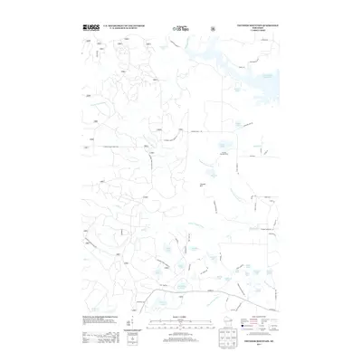
2013 Map of Thunder Mountain
USGS Topo · Published 2013About this map
Thunder Mtn serves as the focal point for this wilderness quadrangle in Oconto County, where the hydrology of the Peshtigo River and its various tributaries dominates the landscape. The northern reaches are characterized by the broad waters of the Caldron Falls Reservoir, while a dense network of forest roads, including National Forest Road 2101, provides access to numerous interior lakes and streams. The settlement at Thunder Mountain Ranch represents a rare point of named habitation amidst the forest.
Find a feature on this map
81 named features on this map. Tap any name to fly to it.
Don’t see what you’re looking for? This feature index may not catch every label — zoom into the map to look around manually.
Map Details
Editions of this 2013 Thunder Mountain Map
This is the sole edition of this map. No revisions or reprints were ever made.
Other maps of this area

1940 · Thunder Mtn.
USGS Topo · 1:48,000

1940 · Athelstane
USGS Topo · 1:48,000

1941 · Coleman
USGS Topo · 1:48,000

1942 · Athelstane
USGS Topo · 1:48,000

1942 · Coleman
USGS Topo · 1:48,000

1942 · Breed
USGS Topo · 1:48,000

1950 · Coleman
USGS Topo · 1:48,000

1951 · Thunder Mountain
USGS Topo · 1:48,000

1952 · Mountain
USGS Topo · 1:48,000

1954 · Iron Mountain
USGS Topo · 1:250,000