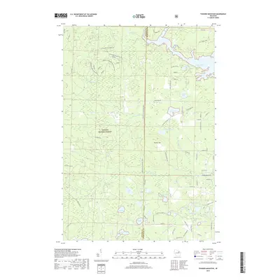
2018 Map of Thunder Mountain
USGS Topo · Published 2018About this map
Nicolet National Forest dominates this landscape on the border of Oconto and Marinette counties, where the terrain is defined by glacial kettle lakes and the complex drainage of the Thunder River. The topographic prominence of Thunder Mtn overlooks a dense network of water bodies, including Lackawanna Lake and the Caldron Falls Reservoir along the eastern edge. This area reflects a mid-20th-century transition toward recreational land use and forest management, evidenced by the numerous specialized tracks such as the Pipeline 4x4 Challenge Trail and various boat landings. Small, named water features like The Spring, Fryingpan Lake, and the curiously named Twin Bessies point to a long history of local naming conventions used by hunters and anglers who navigated these woods before modern development reached the area.
Find a feature on this map
81 named features on this map. Tap any name to fly to it.
Don’t see what you’re looking for? This feature index may not catch every label — zoom into the map to look around manually.
Map Details
Editions of this 2018 Thunder Mountain Map
This is the sole edition of this map. No revisions or reprints were ever made.
Other maps of this area

1940 · Thunder Mtn.
USGS Topo · 1:48,000

1940 · Athelstane
USGS Topo · 1:48,000

1941 · Coleman
USGS Topo · 1:48,000

1942 · Athelstane
USGS Topo · 1:48,000

1942 · Coleman
USGS Topo · 1:48,000

1942 · Breed
USGS Topo · 1:48,000

1950 · Coleman
USGS Topo · 1:48,000

1951 · Thunder Mountain
USGS Topo · 1:48,000

1952 · Mountain
USGS Topo · 1:48,000

1954 · Iron Mountain
USGS Topo · 1:250,000